QGIS is free mapping software, and QField is its app for fieldwork. We train teams to use them, set them up around your data, and make free plugins.

Training

Hands-on courses built around your industry's data, and taught in person.

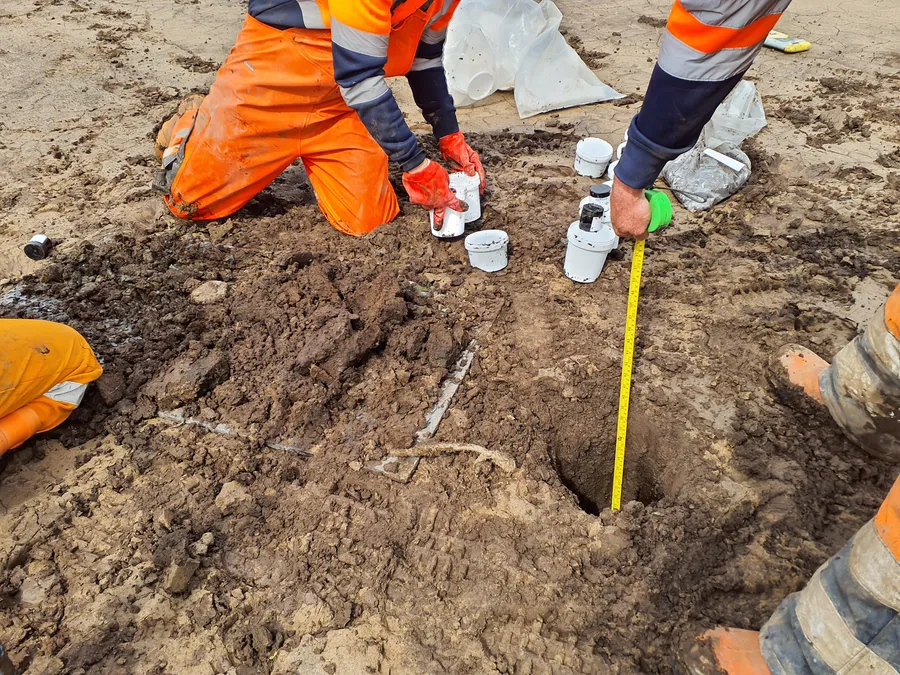
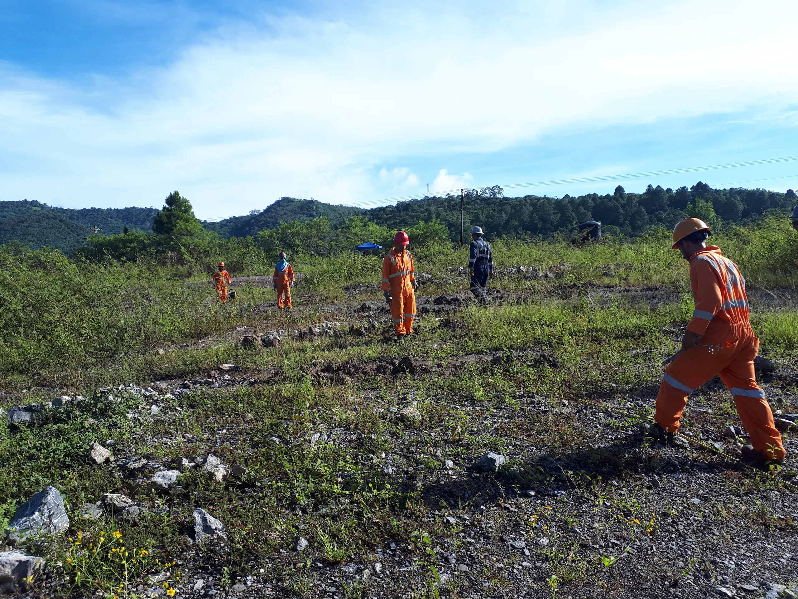
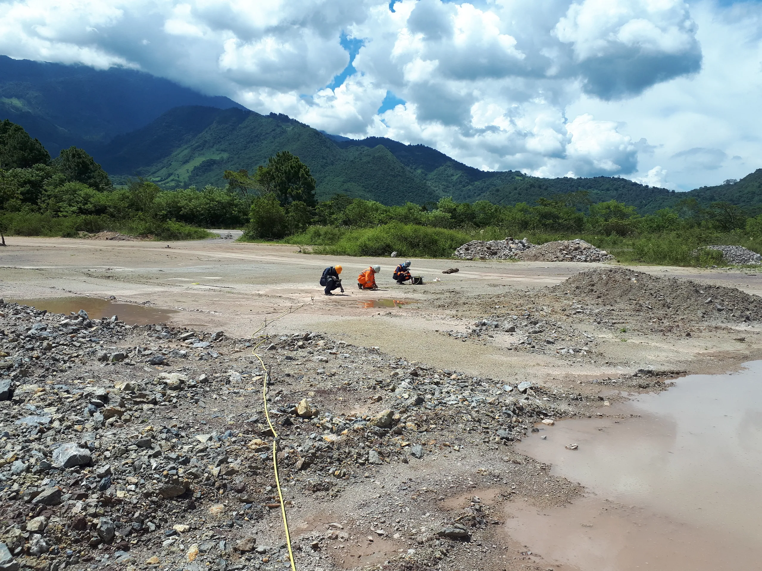
Site workers in orange hi-vis kneeling by a small pit, measuring it with a tape and taking samples.

Geotechnical

For geotechnical engineers and engineering geologists.

  • AGS data
  • Terrain and sections
  • Site logging in QField
  • CAD and GIS

Your team leaves with: A site project, QField logging forms and report-ready figures.

  1. Level 1

    Core skills and site data

    • Getting started with QGIS
    • Boreholes, trial pits, Envirocheck and BGS layers
    • AGS data from HoleBASE, OpenGround or gINT
  2. Level 2

    Terrain, analysis, CAD and reporting

    • Terrain models, slopes and contours
    • Groundwater and strata surfaces, and cross-sections
    • QField for walkovers and site logging
    • CAD drawings in and out of QGIS
    • Report templates, shared projects and simple automation
    • Publication-ready figures in Inkscape

Both levels: 2.5 to 3 days
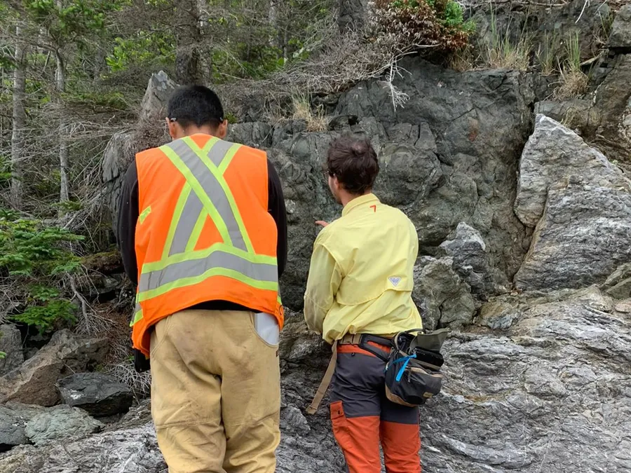
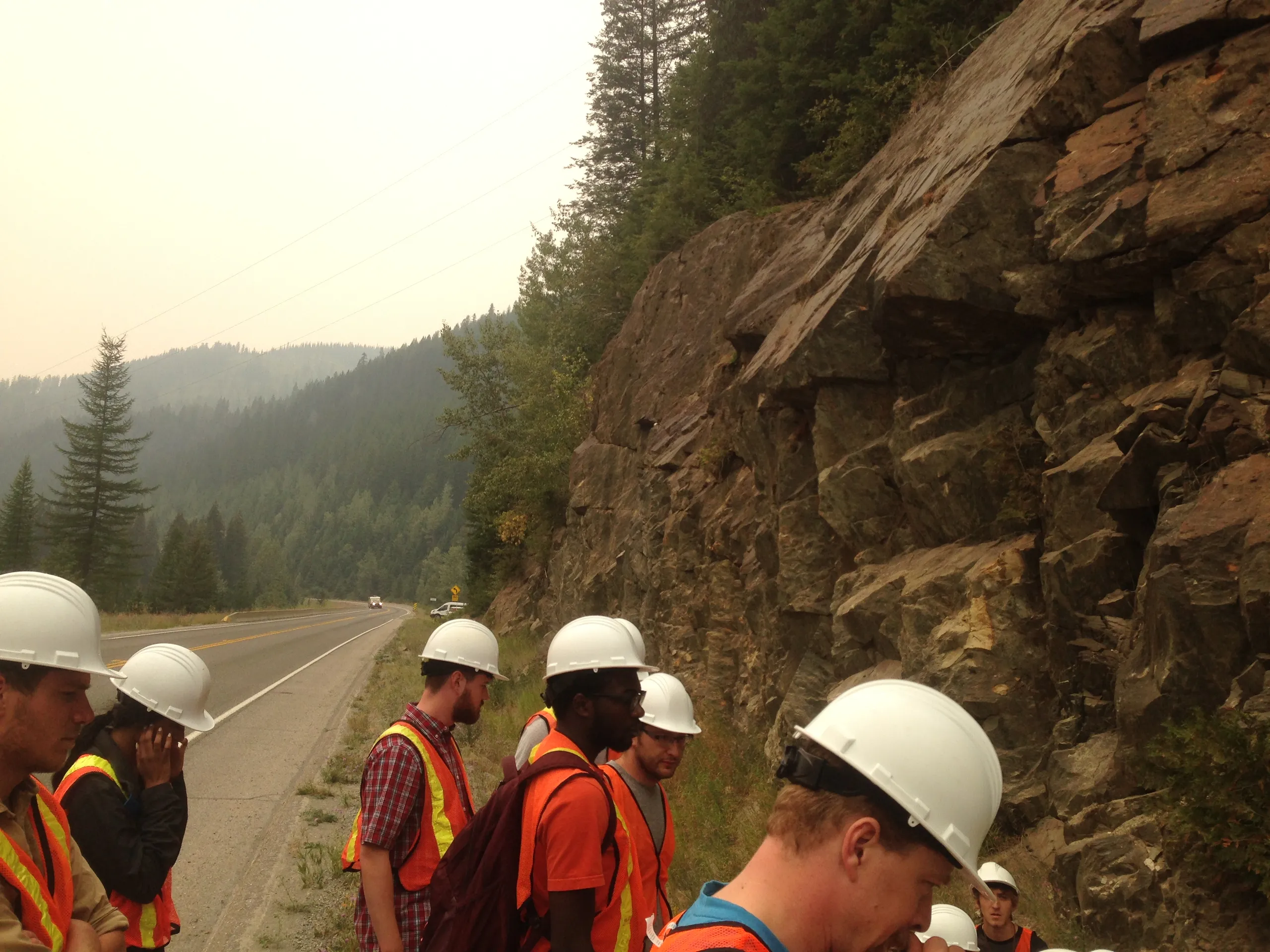
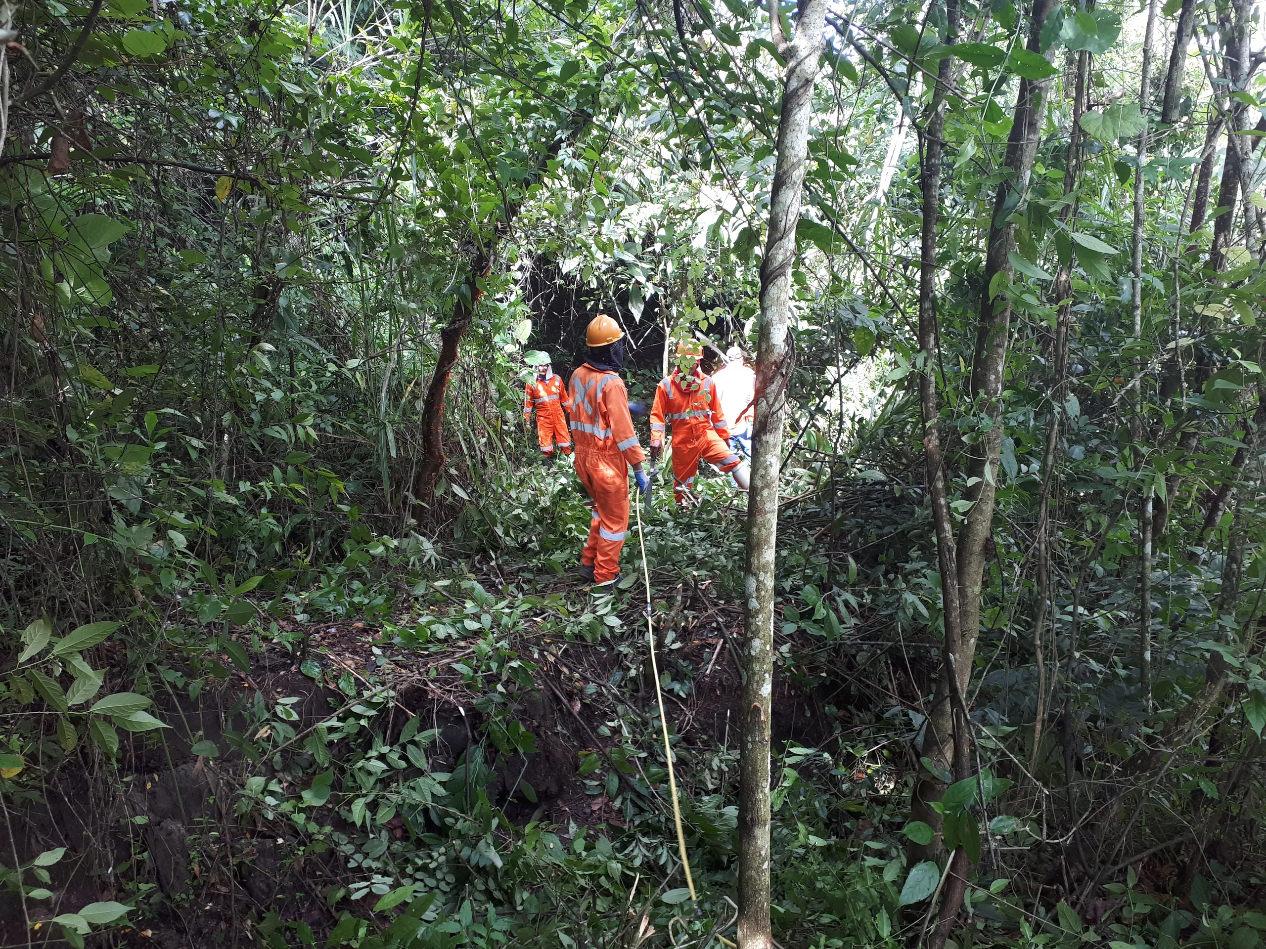
Two geologists in hi-vis examining a rock outcrop in woodland.

Mineral exploration

For exploration teams, from the office to the field.

  • Field mapping in QField
  • Drillholes and assays
  • Structural geology
  • Targeting maps

Your team leaves with: A project for your licence area, and a mapping system for the whole crew.

  1. Level 1

    Projects and field mapping

    2 days
    • Getting started with QGIS
    • Licence areas, geology maps and old maps georeferenced
    • Samples, outcrops and collars from your spreadsheets
    • Satellite images and terrain models as base maps
    • QField forms for outcrops, structures and samples
    • Syncing field data back to QGIS
    • Field and office maps
  2. Level 2

    Geology tools

    1 week
    • Drillholes and assays, on the map and in section
    • Geochemistry results as symbols and heat maps
    • Strike and dip symbols, and structural data
    • Cross-sections from mapped data and terrain
    • Terrain, hillshade and lineaments from drone and satellite data
    • Targeting maps that combine your layers
    • Report maps and templates
    • A day on your own project data
  3. Optional

    A field week on site

    Up to 1 week
    • Your QGIS and QField project, built on site with your team
    • QField forms set up with your own logging codes
    • The whole crew syncing to one project
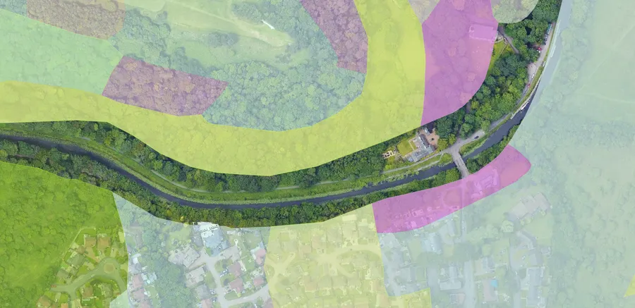
QGIS map of a river and canal with coloured habitat areas drawn over a drone image.

Environment & ecology

For environmental consultants and ecologists.

  • Desk studies
  • Habitat mapping
  • Survey forms in QField
  • Report atlases

Your team leaves with: A desk study map, survey forms for your method, and report maps for every site.

  1. Level 1

    Office essentials

    Half a day
    • Getting started with QGIS
    • Site boundaries and base maps
    • Designated sites, habitats and species records
    • Simple maps for reports
  2. Level 2

    Analysis and QField

    1 day
    • Buffers and distances to designated sites
    • Habitat areas and overlaps, measured
    • Survey tables joined to the map
    • QField survey forms that work offline
    • Syncing field data back to QGIS
  3. Level 3

    Custom surveys and coding

    2 days
    • QField forms with photos, set lists and questions that change with the answers
    • Team surveys shared through QFieldCloud
    • Expressions and the model builder for repeat tasks
    • Simple Python scripts
    • Atlases: a matching map for every site
    • Report templates
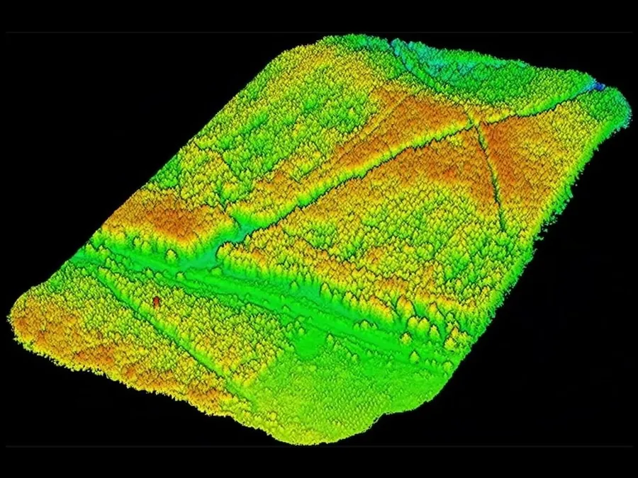
LiDAR point cloud of a forest plot, coloured by height from green to red.

Forestry & estates

For foresters, woodland managers and estate teams.

  • Tree and LiDAR data
  • Compartments
  • Tree inspection forms
  • Management maps

Your team leaves with: Your survey in QGIS, and a tree inspection system your team runs.

  1. Day 1

    In the office: QGIS

    • Getting started with QGIS
    • Estate and compartment boundaries on base maps
    • Tree maps, canopy height and terrain from LiDAR
    • Tree counts, heights and areas for each compartment
    • Access, tracks and slope maps
    • Maps for management plans
  2. Day 2

    In the field: QField

    • Tree inspection forms with photos and priorities
    • Logging gates, fences, tracks and drains
    • Working offline across the estate
    • Syncing the team’s records
    • Open and finished work on one map
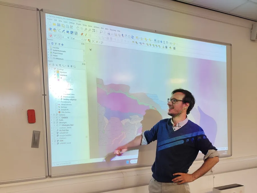
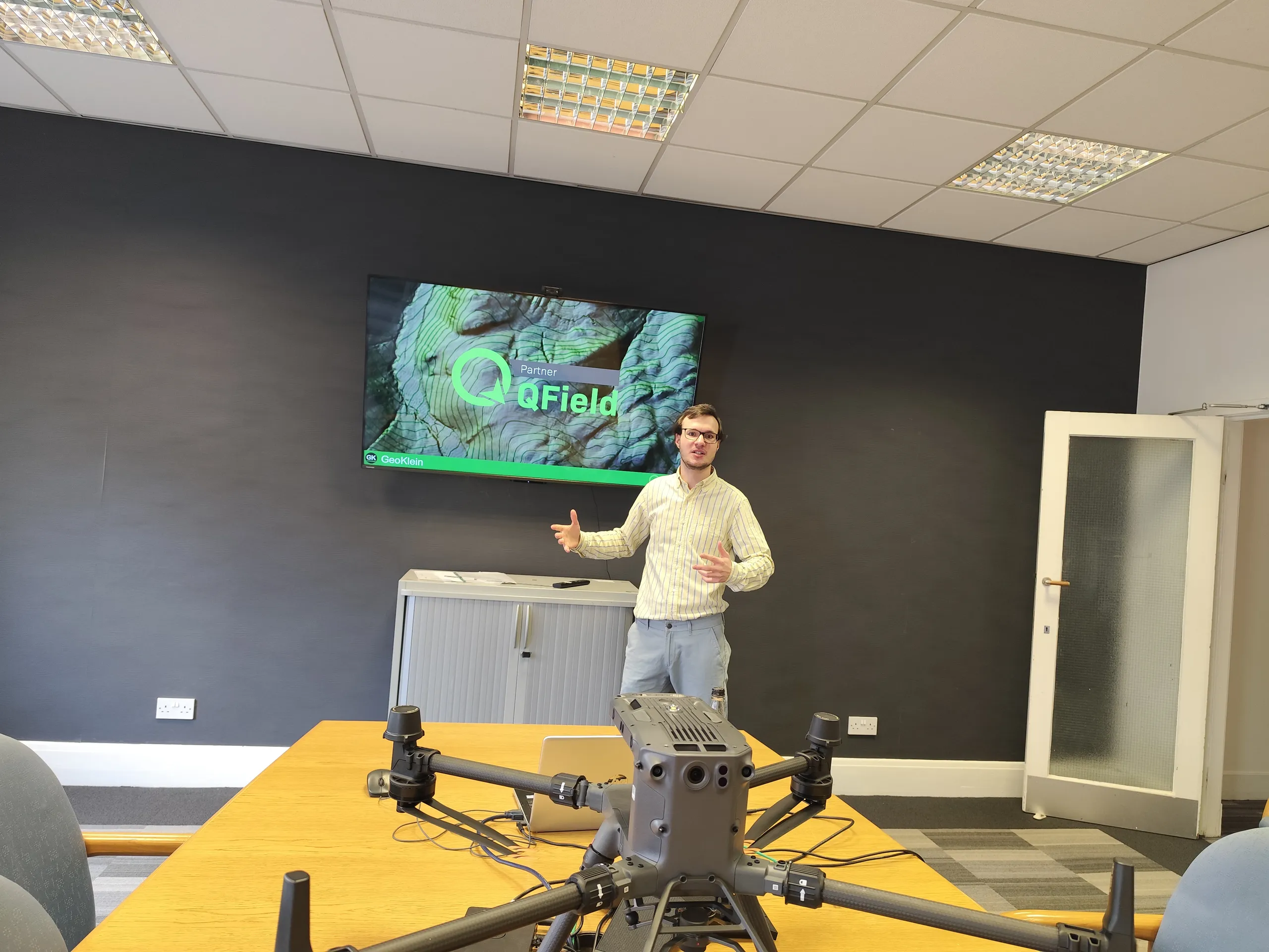
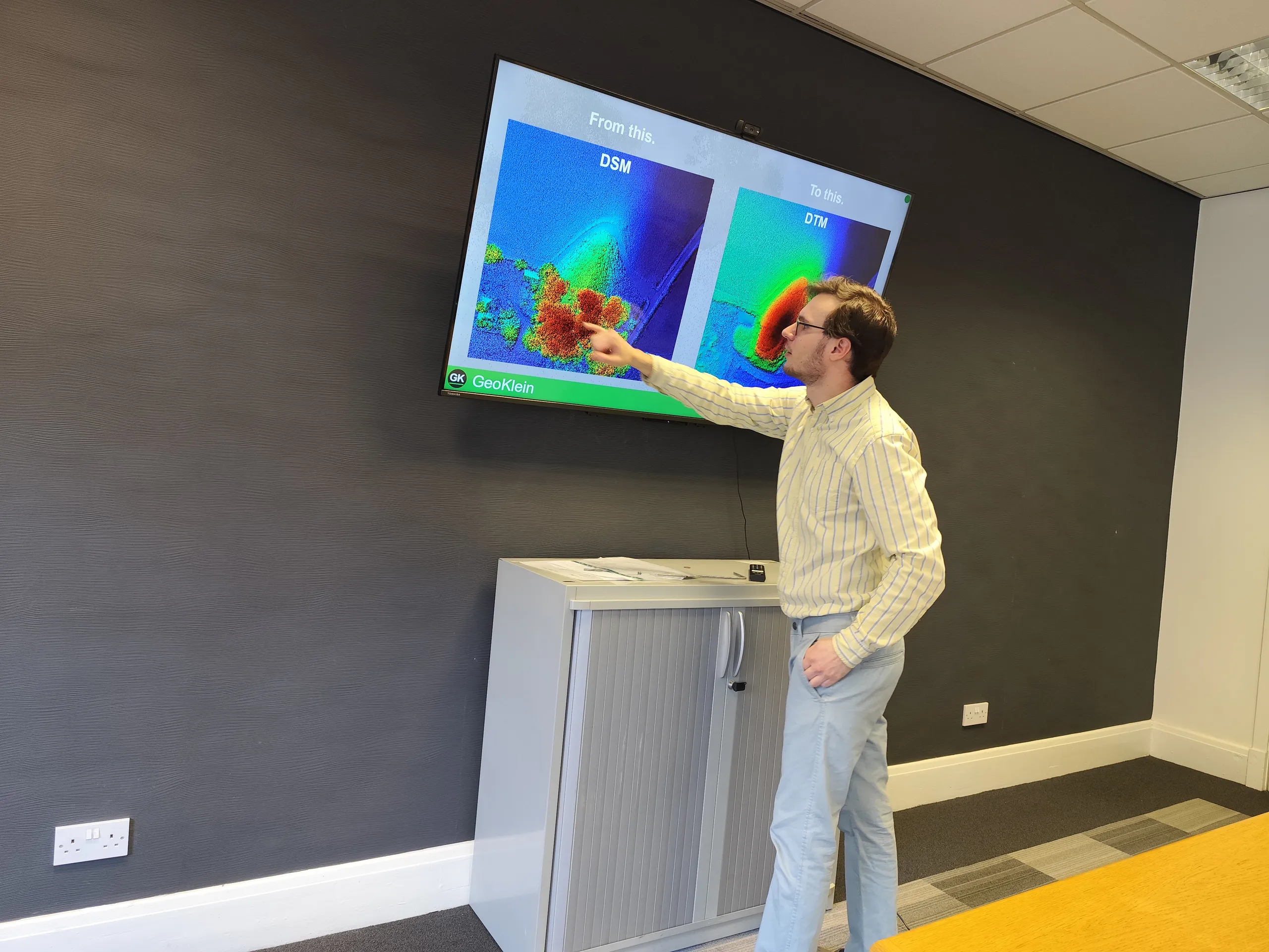
Leonluca Klein pointing at a geological map in QGIS projected on a classroom screen.

Academia

For geoscience, geography and ecology departments.

  • Field slips to digital maps
  • Cross-sections
  • 3D views
  • Dissertation figures

Your students leave with: Digital maps, sections and figures for the dissertation.

  1. Course 1

    Before fieldwork

    2 days
    • Setting up a QGIS project for the mapping area
    • Base maps, satellite images and elevation data
    • Old geological maps georeferenced
    • QField forms for lithology, structures and samples
    • Geotagged photos linked to each point
    • Field observations into QGIS as you go
  2. Course 2

    After fieldwork

    2 days
    • Georeferencing and digitising field slips
    • Lithology polygons and contacts
    • Strike and dip symbols from structural data
    • Cross-sections with the qProf plugin
    • 3D terrain and subsurface views
    • Final maps and figures, finished in Inkscape

Every course is adapted to your team and how much GIS you already know. QGIS and QField are free, so there are no licence fees.

The next generation of mapmakers

Free QGIS and QField workshops for schools and colleges in Edinburgh and the Lothians.
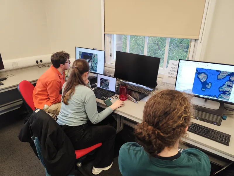
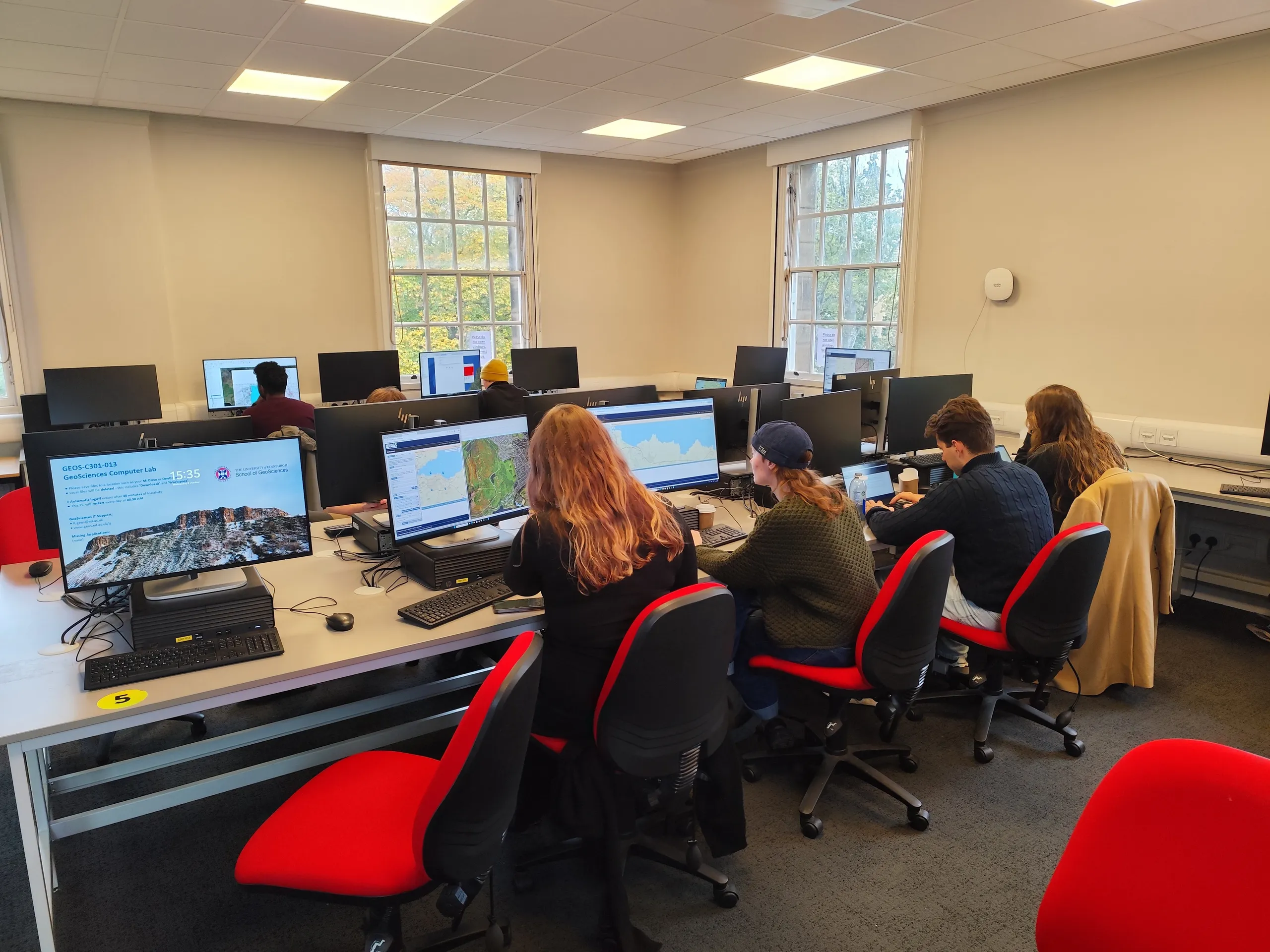
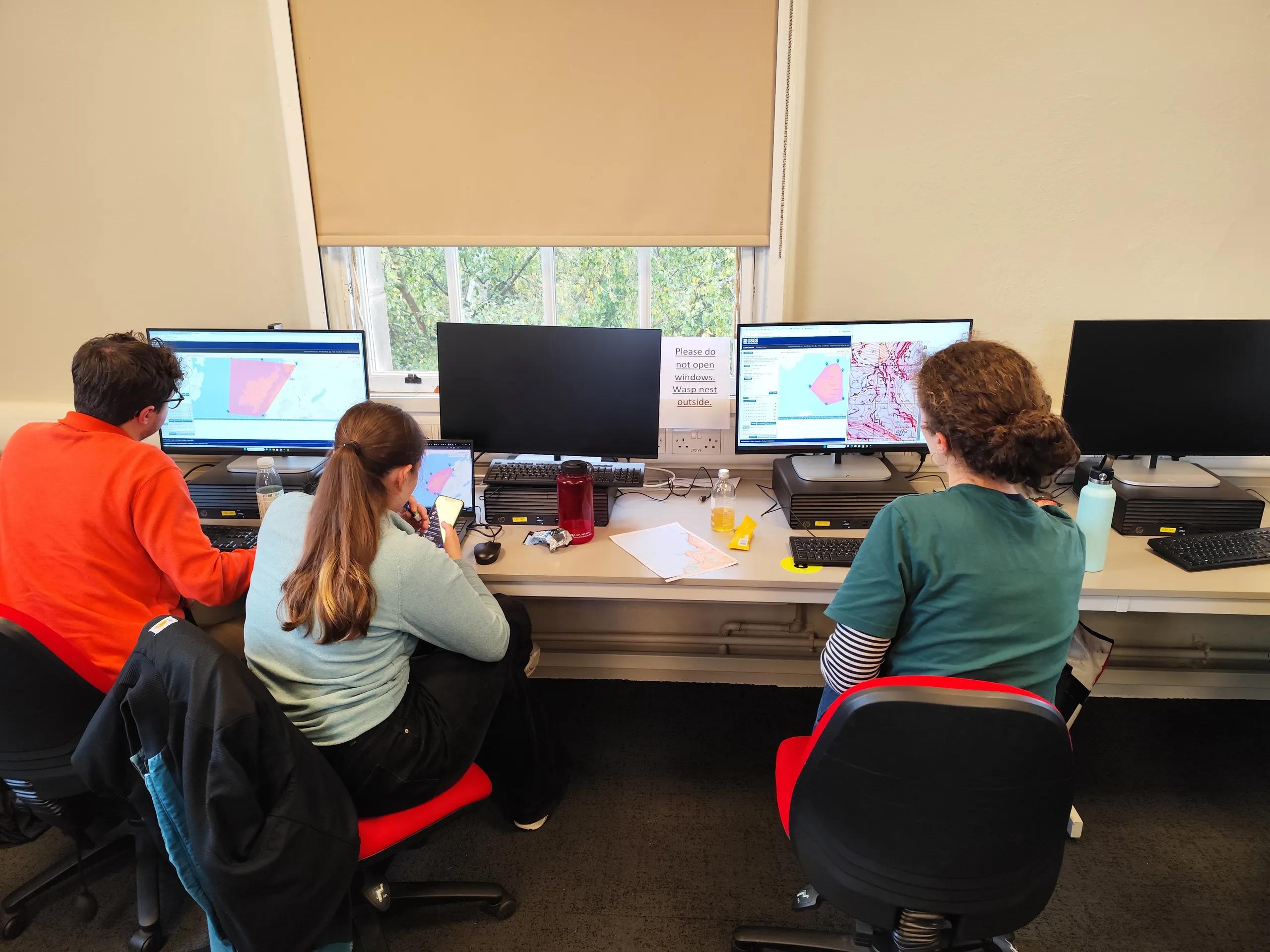
Students and a tutor gathered around a desk of monitors showing maps.

Students go outside with QField on a tablet or phone to gather real data, then analyse it in QGIS back in the classroom. It mixes geography, biology, maths and computer science.

  • Primary schoolsMapping something easy to find, such as dandelions in a field or puddles on the playground, then a short look at the data together.
  • Secondary schools and collegesStudents set up their own QGIS project, analyse their data and present what they find, with their own research questions.
  • CostFree in Edinburgh and the Lothians. Further afield, we only ask for travel, food and accommodation, and remote sessions are possible.

Book a workshop: mail@geoklein.com

Ask about a course or a workshop: mail@geoklein.com

Client portalComing soon