Aerial surveys / Mineral exploration
A fieldwork starter package for exploration ground
Exploration geologist and drone pilot
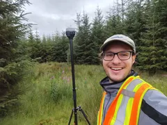
Before founding GeoKlein, Leonluca mapped, prospected and logged core on exploration projects in Quebec, Newfoundland and British Columbia, and coordinated a groundwater study at a mine in Honduras. The survey, the maps and the field setup are planned the way a field geologist needs them.
From first look to fieldwork
- Your groundSend us the area you want to explore.
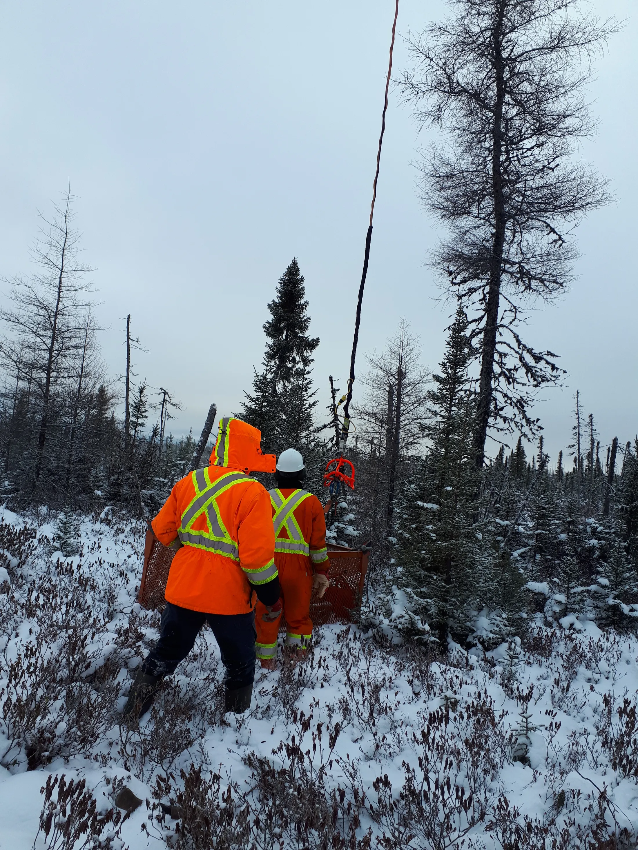
- SurveyWe fly it with LiDAR and photos, including ground that is hard or unsafe to walk.
- MapsWe turn the survey into maps and models of the surface geology.
- Field projectWe set up QGIS and QField, with forms for mapping and sampling.
- FieldworkYour team heads out with everything on their phones and tablets.
What's in the package
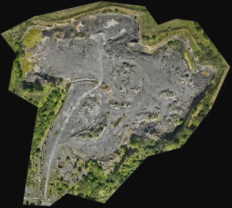 OrthomosaicOne sharp, measured aerial map of the whole area.
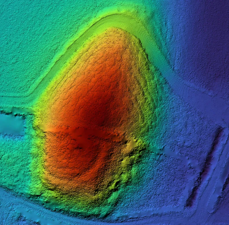 Terrain model (DTM)The bare ground with the trees removed. Ridges, scarps and lineaments often follow faults and veins.
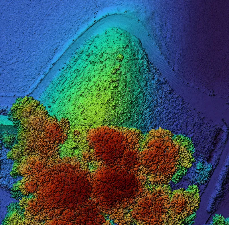 Surface model (DSM)The ground with everything on it, including trees and buildings.
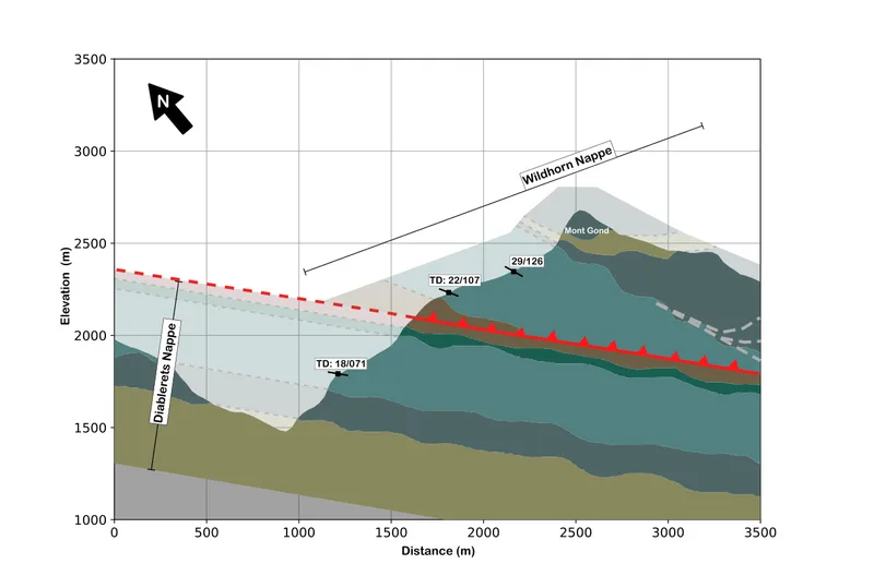 Geological maps and sectionsKnown geology and what the survey shows, ready to check in the field.
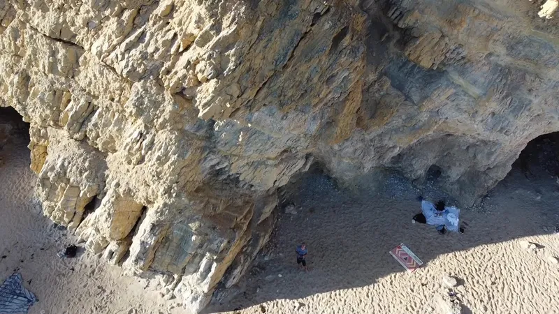 Structural dataBedding, faults and fractures measured from 3D models of cliffs and outcrops.
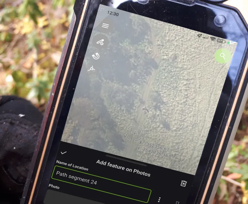 QField mapping projectForms for outcrops, samples and structures on your team’s phones, working offline.
No subscriptions
QGIS and QField are free and work offline. Once your project is set up, there are no licence fees or subscriptions to keep paying.
We can also fly the survey on its own, or set up QGIS and QField for data you already have. To train your team, see our QGIS and QField training for mineral exploration.
Ask for a quote: mail@geoklein.com