QGIS & QField / Plugins
Raster Optimiser
What it does
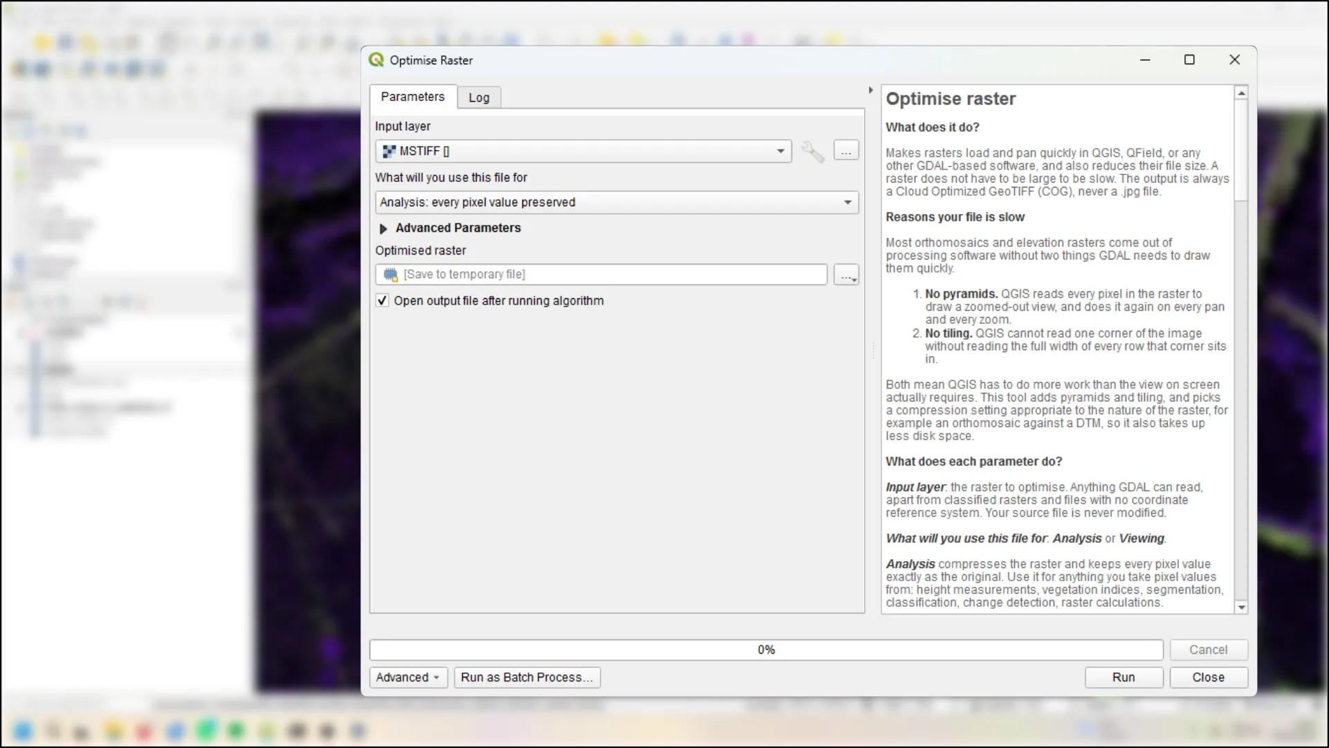
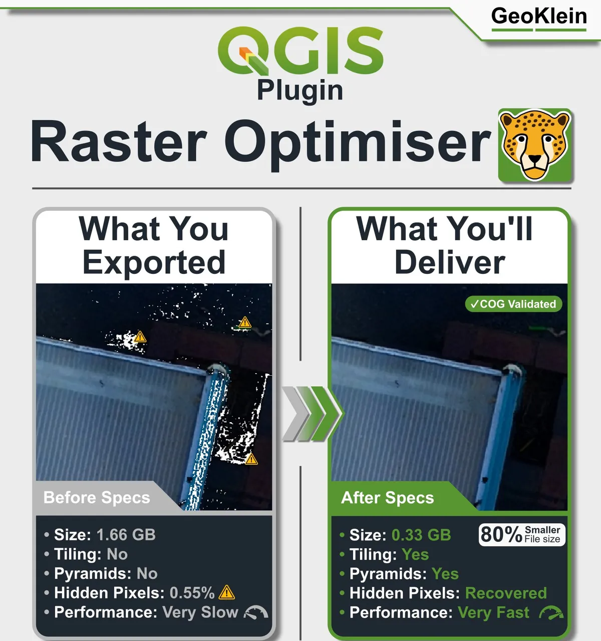
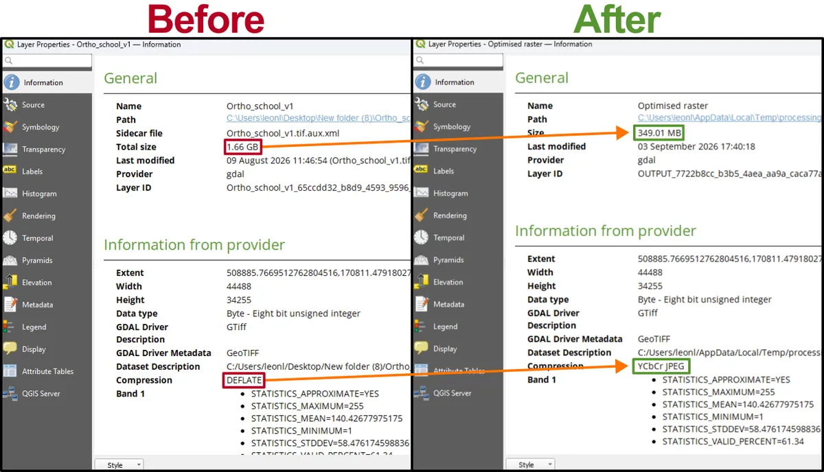
A free QGIS plugin that turns slow, oversized survey rasters into fast Cloud Optimized GeoTIFFs, and explains every choice it makes. A raster is map data stored as a grid of pixels, like an aerial photo or a terrain model; survey rasters are often too large and too slow to work with straight from the processing software.
Install it inside QGIS from the Plugin Manager (search for Raster Optimiser), or find it on the QGIS plugin website. The code is open source, on GitHub.
Who it's for
Anyone working in QGIS with large drone or satellite rasters who wants them to load and pan smoothly, without guessing at the settings.
Other plugins
See all our QGIS plugins.